Critical Areas & Agricultural Mapping
Technical Service Provider
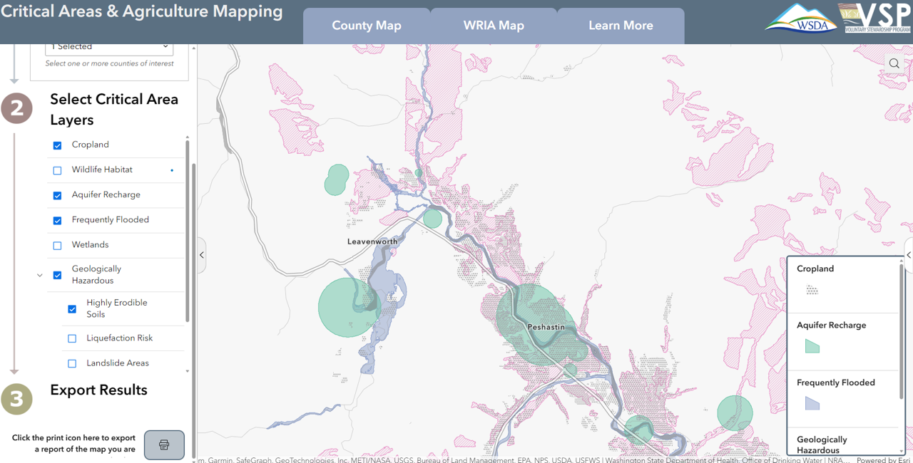
Maps
A web app to investigate the intersection of known agricultural land with critical areas.
In an effort to support Voluntary Stewardship Program (VSP) participants and interested counties, we are in the early stages of development for a tool to bring together the wide array of publicly available datasets related to the five critical areas. Users will be able navigate to counties and watersheds of interest, investigate the intersection of known agricultural land with critical areas, and export report-ready maps for use in VSP work planning and reports.